Walk 1 (Continued)
Also the continuation of Walks 2 and 3

You should be standing at the junction of High Street and Cornmarket Street (which is pedestrianised)
THIS IS THE CONTINUATION OF WALKS 1, 2 and 3.
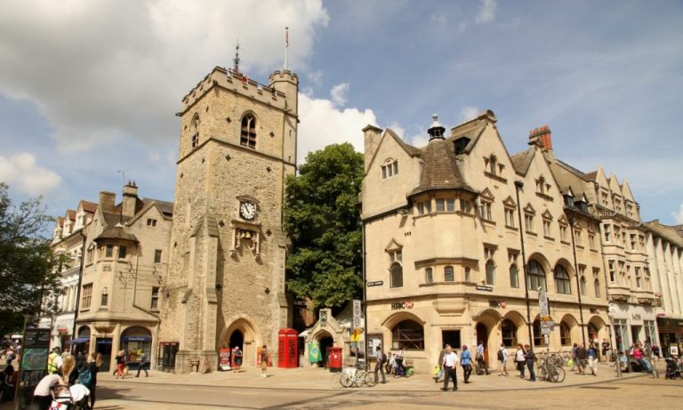
You should now be standing in front of the Carfax Tower

Queen Street in the 1960s before pedestrianisation.
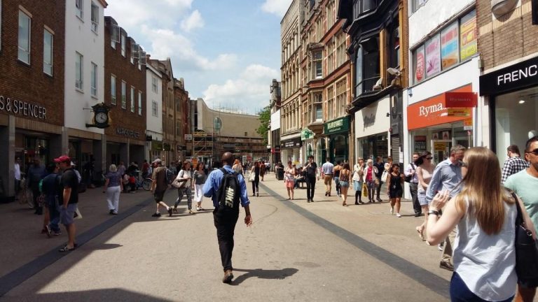
Modern day Queen Street
Walk 1 - Turn Right into Queen Street pedestrian area.
Walk 2 - Go straight into Queen Street pedestrian area.
Walk 3 - Turn left into Queen Street pedestrian area.
Stop when you see this clock on your right at the end of Cornmarket Street.
Walk along Queen Street where you might like to grab a coffee.
In the 13th century, the street was known as the Bailey due to its proximity with the castle. Cattle were slaughtered and the meat sold here, so the street later became known as Butcher Row. The slaughtering of animals in the street was outlawed by the Oxford Mileways Act of 1771 and the butchers moved to the Covered Market. The street was then named Queen Street after Queen Charlotte, the wife of King George III, who both visited Oxford in 1785. There were many gabled and timber-framed buildings here until the late 19th century. Until 1932, there was a showroom for Morris Garages in the street. In 1970, the street was pedestrianised. The buildings have mostly been replaced with modern stores, such as the Marks & Spencer shop on the south side of the street, built 1975/78.

Walk through the square and onto the bend in the road between Castle Street and New Road.
Here you should see "Classy Barbers" and to the left of the barbers you will see a narrow lane. This is Bulwarks Lane and the "Bulwarks" are associated with the defence of Oxford Castle.
Walk along New Road with the "Oxfordshire County Jail" on the left, stop just past the Slug and lettuce, where you get a sight of the prison and Castle.
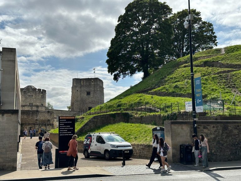
Castle Mound with the prison behind.

Oxfordshire County Jail
Depending upon how you feel, you can climb the castle mound, walk down to the jail or both. If you choose to walk down to the prison, there is a Visitors Centre which might be worth a visit before moving on.

Castle Mound
Continue along New Road for a few metres.
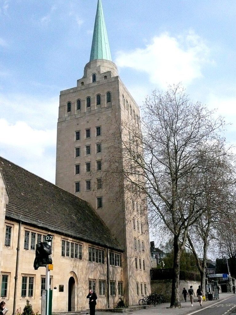
Opposite the Castle Mound, you will see Nuffield College
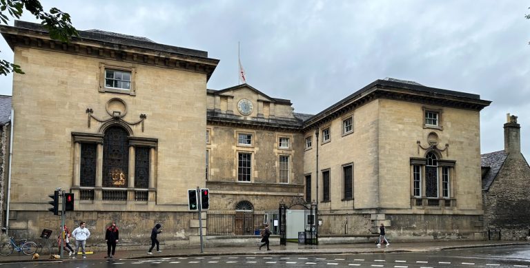
Continue - turn right into Beaumont Street, appreciating the fine houses at the lower end of the street and the magnificent edifices at the city end of the street.
Continue along New Road to the traffic lights, Theres an information board here giving information on the castle and Nuffield College. Turn right along Worcester Street.
Continue along Worcester Street to the next set of traffic lights.
Staying on the right side of the road stay on Worcester Street, to the junction of Beaumont Street and Walton Street.
Stop here.
To your left you will see Worcester College.
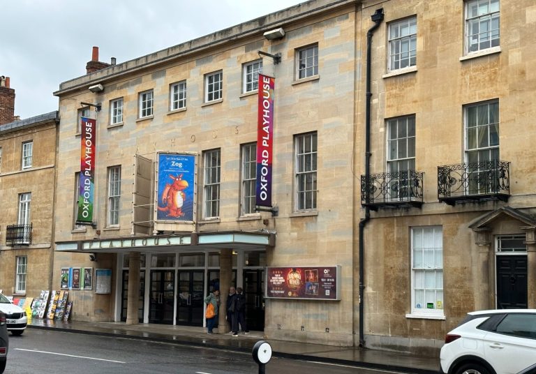
Walking along Beaumont Street, you will see the Oxford Playhouse on the right side of the road. Many University productions are performed here.
Opposite the Playhouse is the Institute of Archaeology and adjacent to that is the word famous Ashmolean Museum.
Continue past the Ashmolean Museum, to the corner and stop here.
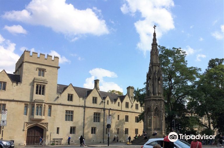
Martyr's Memorial with Balliol College behind
Use this map to orientate yourselves. Start by looking at the Martyr's Memorial. This is your 12 o' clock.

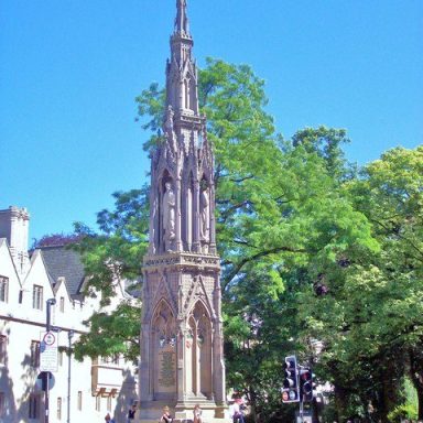
12:00 o'clock

7:00 o'clock

9:00 o'clock
Martyr's Memorial
Black Friars
St John's College

4:00 o'clock

8:00 o'clock

11:00 0'clock
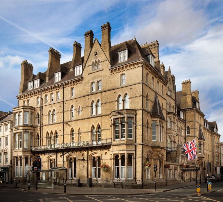
Randolph Hotel
St Cross College
Balliol College
This is the completion of all 3 walks. it is hoped that you have enjoyed your chosen one and that you have found the history of Oxford, interesting.
WHAT NOW?
The Randolph Hotel, on the opposite side of the road, is one of the locations for the Morse TV series so why not call in to "The Morse Bar" for a spot of refreshment?
BACK TO THE HOTEL (BY BUS)
Alternative 1 (if you came into town on this bus, don't pay again.).
The Circular Bus stops outside the Randolph Hotel, bus stop 20, which you probably alighted on you way into the city. The bus will go around the streets but eventually it will travel along Banbury Road and you need to get off at stop 16 (Banbury Road stop). Retrace your steps back to the hotel, if you aren't sure of the way, use the map from earlier (Index, above and Oxford Walks)
This bus will take you around the sights that you've missed on the short walk but it costs more.
Alternative 2 (If you came into town on this bus DON'T use the sightseeing bus as it will be expensive.).
Catch a 2 or 2A at the Martyr's monument just down St Giles heading towards the city centre.
Use this live link to see when buses are due:
https://www.oxfordbus.co.uk/stops/34000105792
Ask for St Margaret's Road East bus stop.
BACK TO THE HOTEL (WALKING)
Cross St Giles (the road over to Balliol College) and turn left.
At the fork take the right onto Banbury Road. Stay on the right side of the road until you come to Linton Road where you turn Right. The Linton Lodge is on the left.

We need your consent to load the translations
We use a third-party service to translate the website content that may collect data about your activity. Please review the details in the privacy policy and accept the service to view the translations.

